-
Iranian National Geoportal of Spatial Data Infrastructure
National Cartographic Center of Iran

-
almost 20000 of information layers
government agencies and spatial data stakeholder


Introduction of National SDI

The main purpose of SDI is to provide governments, organizations, and executive agencies the access of basic, processed, layered, and updated spatial data at the lowest possible cost and in the shortest possible time.The goal is not that an organization provides and has all layers of spatial data. but the goal is for each organization to be in charge of preparing and updating different layers of its spatial data, and to receive other spatial data layers that affect its work from the responsible organization with a specific mechanism because each organization to provide or purchasing the required spatial data has a certain financial capacity.
National Geoportal of Spatial Data Infrastructure
A safe and efficient platform for introducing and sharing of spatial data organizations

Download of spatial data infrastructure documents
.In this section, there is possibility to download the documents produced by the National Cartographic Center and other international authorities

search
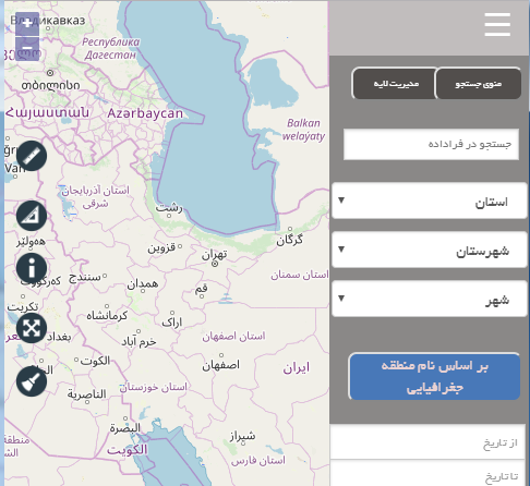
In this section you can search for information layers and existence maps in the National Spatial Data Infrastructure Portal.

Survey
In this section, all users can express their opinions about the quality, speed and ease of working with the portal

Frequently Asked Questions
In this section, users can express their questions about the portal from relevant experts.


co-worker of National SDI


Provinces' Geoportals

Geoportal of Mazandaran province
17/11/1397
Geoportal of Zanjan province
10/05/1398
Geoportal of Fars province
07/07/1398News

Uploading the instruction of Spatial Data Infrastructure implemention of National Cartographic Center document
17/06/1398